

Hazard Viewer
The Hazard Viewer is a one-of-its-kind interactive map of regional hazards, featuring the best available mapping resources and data for each hazard.
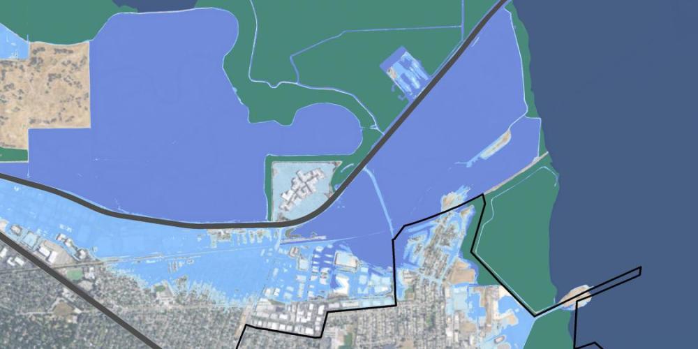
Hazard Viewer
The Hazard Viewer is a one-of-its-kind interactive map of regional hazards, curated from the most relevant, current maps for the nine-county Bay Area. It brings together the best set of mapping resources that exist in the region for each hazard.
An easy-to-use tool for contextualizing local risk at the household-, neighborhood-, jurisdiction- and county-level, the Hazard Viewer includes layers for viewing:
- Historic Wildfire Perimeters
- Fire Hazard Severity Zones
- Tsunami Evacuation Zones
- FEMA Flood Hazard
- Landslide Hazard (Rainfall-Induced)
- Earthquake Fault Zones
- Probabilistic Earthquake Shaking Hazard
- Earthquake Liquefaction Susceptibility
- Earthquake Deaggregation
- Earthquake Shaking Scenario maps for 16 local faults and fault segments
Data Sets & GIS/QGIS Analysis
For more granular visualization and analysis, including the preparation of risk reports or custom maps, all layers of the Hazard Viewer are built on data sets that can be downloaded from the Hazard Viewer’s “About” description for each section, or from the Hazard Viewer Open Data Page for use on a GIS-based application.
Disclaimer
The information provided in the Hazard Viewer is intended for planning use only and is not intended to be site-specific. Rather, it depicts general risks within the neighborhoods and the relative risks from community to community. Hazard levels are less likely to be accurate if your neighborhood is on or near the border between zones. The information in this map application is not a substitute for a site-specific investigation by a licensed professional. ABAG/Metropolitan Transportation Commission does not warrant the accuracy of the information and disclaims any liability resulting from the use of it.